
 |
| La Citerne with Mourre Negre behind. |
Start off from le Etang in Cucuron, and take the trail signposted for l’Hermitage and marked with yellow markers. It starts off up the small road to the school. Pass straight on passed the school and turn left just 200 meter after the school.
After about 750 meters, you turn left again at the next yellow signpost. Here you could opt for a longer and sunny start to this walk, by following the yellow trail straight on up passed the lovely Chapel de l’Hermitage, and follow the trail along the fire road till it meets another fire road coming directly from Cucuron. You simply take left in this junction and follow the fire road up to the 360 degrees turning, marked 627 meters.
On hot and/or windy days, I normally don’t walk up passed the Chapelle, but turn left at the yellow signpost at l'Hermitage. After only some 130 meters on the paved road, however, turn right onto the unmarked trail starting off here. You might see some old GR-markings (red and white) because it used to be a GR trail. After a bit, you will notice a large fence going in the direction of the trail on the left side, some 100 meters or so from the trail. This is the fence for a large private estate, and after a while, you will see that the fence turns 90 degrees to the left and climbes up the hill. This is the end of the estate, and very soon (only some 150 meters), a small trail takes off to the left. Here you start your climb up the hill. After a bit, you pass some ruines of a house (le St-Esprit), but just continue until you meet the large trail (a track road, really), going along the ridge north/south. You take this road north and take a rest at the point marked 582 meters. So far, you have probably walked about 1 hour from Cucuron.
For those of you who opted for the route passed the Chapelle and along the fire road, this is the time to join the rest of us at the point marked 582 meters. Just leave the large fire road in the 360 degrees turn, taking the trail going down to this point (see map).
From the 582 point we follow the track road heading straight north up the narrow valley to the 841 meter point (about 40 minutes), where you turn left out towards the Baumatrone. When you reach the big clearing at the pass, take the small path to the right. It starts off gaining some hight and when you reach the highest point you must start to watch out for an even smaller trail on your right. This path takes off after the path has started to go down, and slightly after the 898 meter point. You really should use your GPS device to find this path. It takes you quickly up to the big opening of the mountain top called la Citerne at 968 meters. It could be difficult to find this path, so I have often in the passed taken off to the right quite arbitrary and follow the terrain upwards to the top. It’s quite simple to do that up here. But with the GPX-file on your GPS device, you will find the path!
For the return to Cucuron, I suggest you join the fire road along the Grand Luberon ridge at the 929 meter point (unless you follow my GPX route staight on westwards as a short cut). At the 929 meter point you walk left (west) to the second descent road towards Vaugines at the 895 meter point (for Vallon de la Figuiere). Here you get a very good track road first going back again to the viewpoint at the 814 meter point. There are also one or two nice places for lunch before you get that far, sheltered from the wind.
From the 814 meter point the road turns sharply down into the Figuiere Valley and you follow this road for a good 20 minutes. Continue on the road also when it turns slightly left and starts to go uphill. After only some 2-300 meters, you will see a smaller track road taking off down to your right in a south-eastern direction. Take this road and follow straight on also when it shortly becomes a path going steeply down hill. You will soon join the main track road going down the Vauniere Valley.
The return trail down the Vauniere valley is now a GR trail and takes you down to the center of Vaugines in about 20 minutes. You continue this GR trail through the village and passed the Church all the way back to Cucuron (another 30 minutes).
Alternative route back from la Citerne
On very windy days, you may want to get down from the mountain as soon as possible. From la Citerne you have a wide path going straight west steeply down towards the 814 meter point on the large track road going down the Vauniere valley (now a GR-trail). Befor you get this far (say 10 minutes down from the top), a very charming track road takes off to the left, first a bit up hill. This leads to le Bergerie (10 minutes) where it's quite nice to have lunch on the clearing.
For this option, I have made another GPX-file called Cucuron5, but you press the same link underneath (Cucuron4) to get access to the free download. It will also take you along some of Vaugines Balcony route as a straight route to Vaugines Church (avoiding the Village).
Basic information:
Duration: 6h
Distance: 16 km.
Ascent: 660 m
Difficulty: Moderate
Start/finish: Cucuron
Map: IGN 3243 OT (1cm=250 m)
GPX-file: Cucuron4.gpx (Free download from list)
https://www.visorando.com/randonnee-/3098221
After about 750 meters, you turn left again at the next yellow signpost. Here you could opt for a longer and sunny start to this walk, by following the yellow trail straight on up passed the lovely Chapel de l’Hermitage, and follow the trail along the fire road till it meets another fire road coming directly from Cucuron. You simply take left in this junction and follow the fire road up to the 360 degrees turning, marked 627 meters.
 |
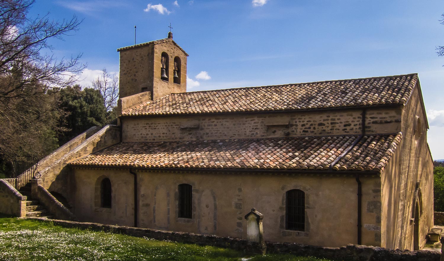
| Chapelle de l'Hermitage (Cucuron) |
 |
| Grotte. |
From the 582 point we follow the track road heading straight north up the narrow valley to the 841 meter point (about 40 minutes), where you turn left out towards the Baumatrone. When you reach the big clearing at the pass, take the small path to the right. It starts off gaining some hight and when you reach the highest point you must start to watch out for an even smaller trail on your right. This path takes off after the path has started to go down, and slightly after the 898 meter point. You really should use your GPS device to find this path. It takes you quickly up to the big opening of the mountain top called la Citerne at 968 meters. It could be difficult to find this path, so I have often in the passed taken off to the right quite arbitrary and follow the terrain upwards to the top. It’s quite simple to do that up here. But with the GPX-file on your GPS device, you will find the path!
 |
| Vaugines Church. |
From the 814 meter point the road turns sharply down into the Figuiere Valley and you follow this road for a good 20 minutes. Continue on the road also when it turns slightly left and starts to go uphill. After only some 2-300 meters, you will see a smaller track road taking off down to your right in a south-eastern direction. Take this road and follow straight on also when it shortly becomes a path going steeply down hill. You will soon join the main track road going down the Vauniere Valley.
The return trail down the Vauniere valley is now a GR trail and takes you down to the center of Vaugines in about 20 minutes. You continue this GR trail through the village and passed the Church all the way back to Cucuron (another 30 minutes).
Alternative route back from la Citerne
On very windy days, you may want to get down from the mountain as soon as possible. From la Citerne you have a wide path going straight west steeply down towards the 814 meter point on the large track road going down the Vauniere valley (now a GR-trail). Befor you get this far (say 10 minutes down from the top), a very charming track road takes off to the left, first a bit up hill. This leads to le Bergerie (10 minutes) where it's quite nice to have lunch on the clearing.
For this option, I have made another GPX-file called Cucuron5, but you press the same link underneath (Cucuron4) to get access to the free download. It will also take you along some of Vaugines Balcony route as a straight route to Vaugines Church (avoiding the Village).
Basic information:
Duration: 6h
Distance: 16 km.
Ascent: 660 m
Difficulty: Moderate
Start/finish: Cucuron
Map: IGN 3243 OT (1cm=250 m)
GPX-file: Cucuron4.gpx (Free download from list)
VisoRando Lien.
Pour le fichier GPX,
vous pouvez télécharger à partir d'ici (voir ci-dessus) ou mettre à jour via ce
lien VisoRando où vous pourrez également voir l'itinéraire sur une bonne carte:
For the GPX-file, you
could download from here (see just above) or go to this VisoRando link where
you also will see the route on a good
map.
If
you have problems with this VisoRando link, download the GPX-file from above
and import it to VisoRando or other application.
TET:
12.5.2020: Anne med lunch på Bergeriet kl.11.45 (pga vind). Totalt 6h.
TET:
12.5.2020: Anne med lunch på Bergeriet kl.11.45 (pga vind). Totalt 6h.
No comments:
Post a Comment